
LIGTAS
Location-Integrated GIS Tool for Area Surveillance System
A geographic-information surveillance system developed for the City Health Office to track, map, and respond to seven notifiable diseases across all 59 barangays of San Fernando City, La Union. Real-time case reporting, household-level pinpointing, automated outbreak detection, and five years of trend analytics — all in one place.
Diseases Monitored
All seven are notifiable conditions under the Philippine Integrated Disease Surveillance and Response (PIDSR) system.
Core Features
Every feature was built to support real epidemiological workflows used by the City Health Office.
GIS Surveillance Map
Real barangay polygon boundaries with risk-zone color coding. Cases shown as sunflower patterns around centroids; toggle between Street, Satellite, and Dark base maps.
Household Pinpointing
Patients drop a precise lat/lng pin on their residence when reporting. CHO investigators can correct pins with mandatory reasons; every change is audit-logged.
Outbreak Alert System
Automated detection when a barangay crosses the case threshold. Real-time push notifications to CHO and Admin dashboards, with severity tiers.
Trend Analytics
Five-year historical data, weekly and monthly comparison charts, top-affected barangays, and year-over-year case curves per disease.
Case Assessment Workflow
CHO investigators classify cases as Suspected, Confirmed, or Negative; assign isolation periods; and capture clinical notes — all linked to the patient's record.
Audit Trail
Every pin correction, status change, and admin action is permanently logged with the user, timestamp, and reason. CSV-exportable for accountability.
Weekly Morbidity Reports
Generate DOH-formatted PDF reports with embedded charts, barangay tables, and case lists — ready for submission to the regional health office.
Three-Role Access
Patients self-report; CHO officers investigate and assess; Admins manage users and oversee system-wide audit logs. Role-based permissions throughout.
Searchable Glossary
150+ disease, clinical, epidemiology, and public-health terms with live search and category filtering — for staff training and public reference.
LIGTAS in Numbers
Tracked
with Real Boundaries
(Patient · CHO · Admin)
Historical Data
Data Privacy & Confidentiality
LIGTAS is built in compliance with Republic Act 10173 (Data Privacy Act of the Philippines). Patient information is used exclusively for disease surveillance by the City Health Office and is never shared with third parties without consent. Public dashboards display only aggregate, anonymized data — no personally identifying information is exposed beyond the patient and their assigned CHO investigator.
Developed As An Undergraduate Capstone Project
LIGTAS was designed and developed in partnership with the City Health Office of San Fernando City, La Union to address the operational challenges of manual, paper-based disease surveillance. The system replaces fragmented spreadsheets and physical case logs with a unified, map-driven, multi-user platform tailored to the workflows of City Health Officers, investigators, and the residents they serve.

Luigi
Your friendly LIGTAS guide — always ready to help.
Luigi is the official mascot of the LIGTAS system. Designed to make disease surveillance feel approachable, Luigi guides patients through case reporting, reminds CHO officers of pending cases, and pops up with helpful tips throughout the system. He's always wearing his shield — because protecting the community is what LIGTAS is all about.


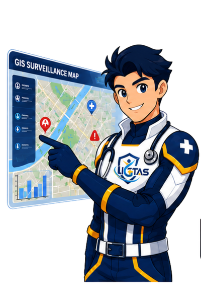
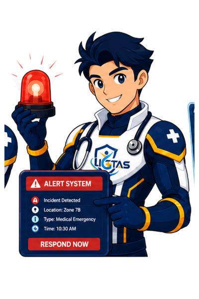

Luigi has 18 poses — each one for a different moment in the LIGTAS workflow.
Meet the Developers
The team behind LIGTAS — BSIT students from DMMMSU-MLUC passionate about using technology for public health.




Need to reach the City Health Office?
For health emergencies, case follow-up, or system questions, contact the City Health Office of San Fernando City, La Union directly. Full contact details are listed in the footer below.